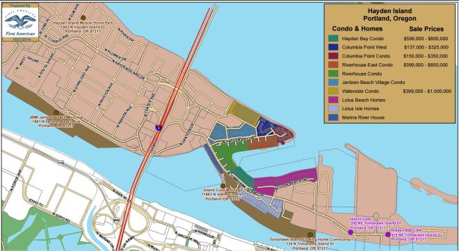
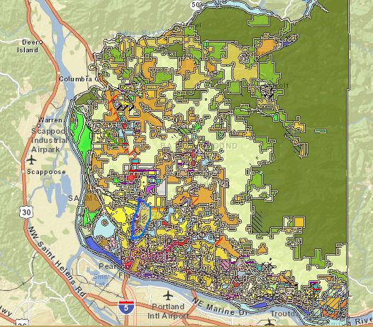
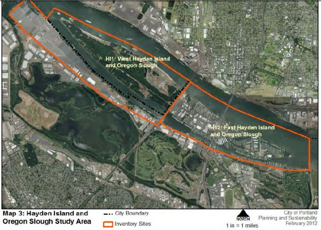
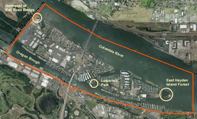
Maps of Hayden Island and vicinity.
Here’s a map of biking around my region of the island, along the Columbia in the Manufactured Home Community. Below is a Google Earth tour of the island.
The neighborhood of Bridgeton is directly across the Columbia harbor from Hayden Island (on the Oregon shore), while The Kenton Neighborhood is a bit to the West and further South.
The East Columbia Neighborhood Association, further East and South, is surrounded by three golf courses and bordered on the north by the Columbia River.
T
The Columbia River Gorge Visitors Association and the Gorge Travel Council provide lots of brochures and maps on the attractions.
Oregon Coast Guide with links to drone videos
County Maps
- Clark County Maps Online
- Portland Maps.com
- Multnomah County Maps
- Multnomah County Survey Maps.
- Google Maps: Hayden Island
- Columbia River Channel Maps
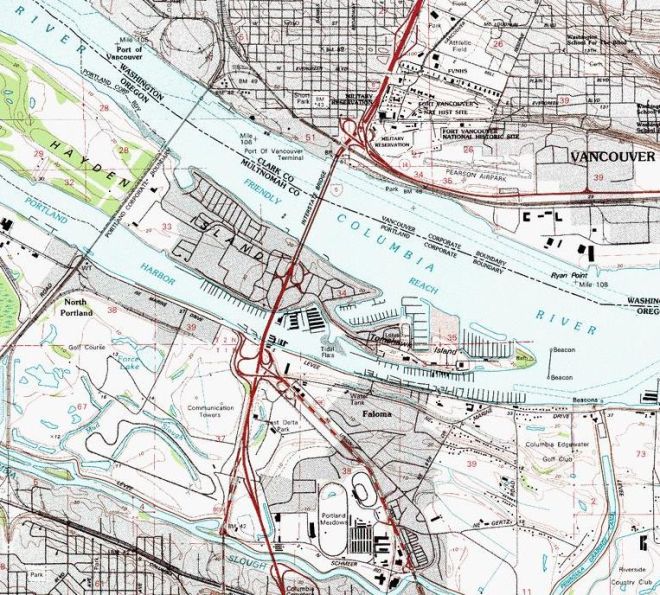
Hayden Island Resource Inventory
- Port of Portland WHI studies
- City of Portland Sustainability Studies of Hayden Island
- Planning and Sustainability Commission’s Recommended Draft for West Hayden
- Bureau of Planning and Sustainability Hayden Island Natural Resources Inventory
- Planning and Sustainability Commission’s Recommended Draft for West Hayden
Real-time Maps


